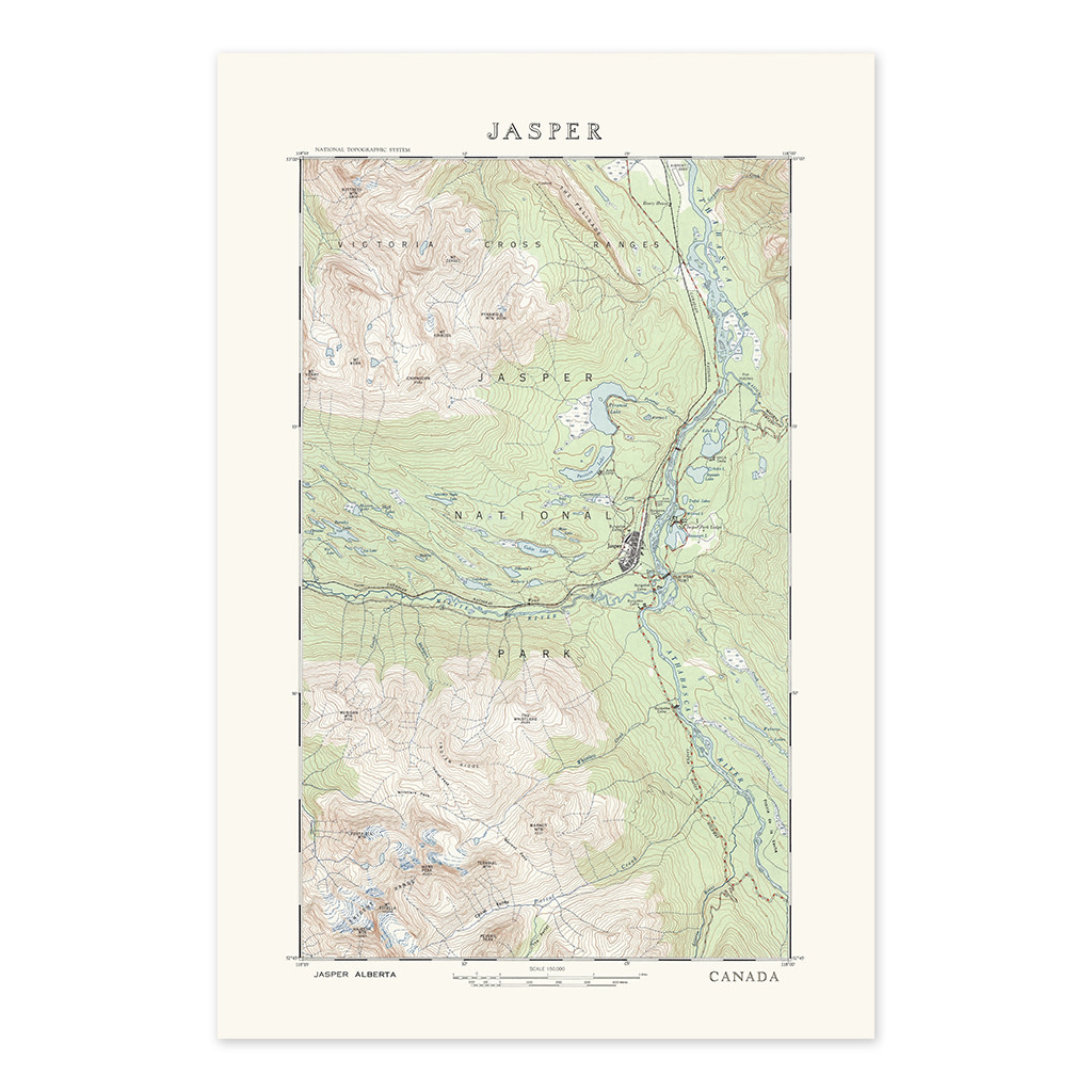
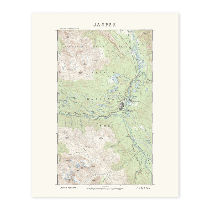
This detailed topographic map of Jasper National Park presents the region through contour lines, rivers, valleys, and mountain ranges, offering a clear view of the park’s dramatic geography. Centered on the town of Jasper, the map traces rail lines, waterways, and surrounding terrain, highlighting how the community sits within a vast alpine landscape.
Rendered in soft greens, browns, and blues, the map balances technical accuracy with visual appeal. Elevation changes are clearly marked, giving a strong sense of scale and relief across the Athabasca Valley and surrounding peaks. Originally produced as part of Canada’s national mapping efforts, it reflects mid 20th century cartographic standards, when clarity, precision, and legibility were paramount.
This piece works equally well as a reference map or as a decorative print, appealing to hikers, map lovers, and anyone with a connection to Jasper and the Canadian Rockies.